 Human Skills
Reading a Map
Scale, contours and symbols so paper and phone maps make sense
5 minIntermediateUpdated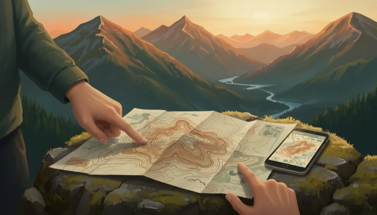
- Use map scale to estimate real distances
- Read contour lines to see hills, valleys and steepness
- Orient a map to the land and keep track of where you are
Why paper still matters
Phone maps are excellent until the battery dies, the screen cracks or the signal drops in a valley. A paper map weighs a few grams, never needs charging, and shows the whole area at once so you can plan and see alternatives. The skills are the same on both: understanding scale, contours and symbols. Download offline map tiles for the area before you leave, carry a paper map as backup, and know how to use each. For walking, a 1:25,000 topographic map is the standard, showing footpaths, walls, buildings and every 10 metre change in height.
Scale and distance
Scale tells you how much smaller the map is than the world. On a 1:25,000 map, 1 centimetre equals 250 metres, and the blue grid squares are 1 kilometre across. On 1:50,000, 1 centimetre is 500 metres. To measure a route, lay a piece of string or the edge of a paper along it, then compare against the scale bar. A fit walker on flat ground covers about 4 to 5 kilometres an hour; add roughly 10 minutes for every 100 metres of climb. Knowing this lets you predict when you should reach the next landmark, which is your first check that you are where you think you are.
Contour lines
Contour lines join points of equal height, typically every 10 metres, with a thicker line every 50. Lines close together mean steep ground; far apart means gentle. A ring of contours is a hill top. Contours that bend into a V pointing uphill mark a valley or stream; a V pointing downhill marks a ridge or spur. Learning to see the shape of the land from these lines is the single most useful map skill, because hills and valleys do not move, whereas paths get overgrown and signs disappear. Practise by looking at a slope in front of you and finding it on the map.
Symbols and the legend
Every map has a legend explaining its symbols and colours. Blue is water, green is woodland, brown lines are contours, black is human-made things like walls, buildings and paths. Dashed lines are usually footpaths, but check; on some maps they show boundaries instead. Note which symbols mark features you can actually see on the ground, such as churches, bridges, pylons, stream junctions and forest edges. Those are your landmarks. Features that change, like crop fields or seasonal streams, are less reliable. Spend two minutes reading the legend of any new map before you set out.
Orienting and tracking
Orient the map so that north on the map points north on the ground; a compass makes this exact, but you can also line up the map with a road, river or ridge you can see. Once the map matches the land, everything on the paper sits in the right direction. Then keep a thumb on your position and move it as you pass each landmark. Before each leg, note three things: the direction you will walk, how long it should take, and what you should see when you arrive. If the third does not appear, stop and work out why before going further.
Check yourself
Each centimetre is 250 metres at 1:25,000, so 4 centimetres is 1 kilometre, the same as one grid square.
Close contours mean height changes quickly over a short distance, which is a steep slope.
Contours bend uphill around valleys and streams and downhill around ridges and spurs.
Naismith's rule adds about 10 minutes per 100 metres of ascent on top of 4 to 5 kilometres an hour on the flat.
Try it for real: Walk a route by map
- Get a 1:25,000 map or offline map of an area near you and read its legend
- Plan a 3 kilometre loop, measure it with string and estimate the time including climbs
- Walk it with the map oriented to the land, thumbing your position at each landmark
- Compare your estimated time and your actual time
🛒 Gear for this skill
As an Amazon Associate I earn from qualifying purchases. It costs you nothing extra and keeps this site free.
Next lesson: Compass Basics and Taking a Bearing →
Written and checked by the Human Skills team against the sources below. How we check our content
- Ordnance Survey Map Reading guide
- Mountaineering: The Freedom of the Hills